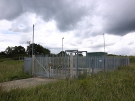
Bromagefield Wood, Suffolk

« Gazetteer Entry
Upload Photo

Bromagefield Wood, Suffolk

  • Parish/Community: Depden
  • District/Borough: St. Edmundsbury
  • County: Suffolk
  • Region: Eastern
  • Category: Landcover
  • Type: Forest or Wood
  • Latitude/Longitude: 52°10'8"N 0°37'9"E
  • Eastings/Northings: 579231, 255532
  • OS Grid: TL792555
  • Mapcode Local: GBR QFN.TNJ
  • Mapcode Global: VHJH0.PR93

Location and coordinates are for the approximate centre of Bromagefield Wood within this administrative area. Geographic features and populated places may cross administrative borders.

BritishPlaceNames.uk is a Good Stuff website.