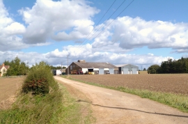
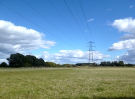
Broadwater Planting, Oxfordshire

« Gazetteer Entry
Upload Photo

Broadwater Planting, Oxfordshire

  • Parish/Community: Little Milton
  • District/Borough: South Oxfordshire
  • County: Oxfordshire
  • Region: South East
  • Category: Landcover
  • Type: Forest or Wood
  • Latitude/Longitude: 51°42'27"N 1°7'15"W
  • Eastings/Northings: 460839, 201352
  • OS Grid: SP608013
  • Mapcode Local: GBR 8ZP.Z9Q
  • Mapcode Global: VHCY3.JB8S

Location and coordinates are for the approximate centre of Broadwater Planting within this administrative area. Geographic features and populated places may cross administrative borders.

BritishPlaceNames.uk is a Good Stuff website.