-
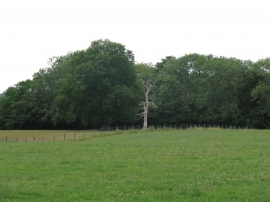
Solitary dead tree north of Broadreed Farm
-
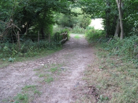
Footpath between Broadreed Farm and Broadreed Wood
Solitary dead tree north of Broadreed Farm
Footpath between Broadreed Farm and Broadreed Wood
Location and coordinates are for the approximate centre of Broadreed Wood within this administrative area. Geographic features and populated places may cross administrative borders.