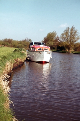
Broad Fen, Norfolk

« Gazetteer Entry
Upload Photo

Broad Fen, Norfolk

  • Parish/Community: Stalham
  • District/Borough: North Norfolk
  • County: Norfolk
  • Region: Eastern
  • Category: Water Feature
  • Type: Other Water Feature
  • Latitude/Longitude: 52°46'34"N 1°28'31"E
  • Eastings/Northings: 634500, 325500
  • OS Grid: TG345255
  • Mapcode Local: GBR XHD.V4T
  • Mapcode Global: WHMSY.MHR3

Location and coordinates are for the approximate centre of Broad Fen within this administrative area. Geographic features and populated places may cross administrative borders.

BritishPlaceNames.uk is a Good Stuff website.