-
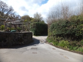
Farm track in Lower Brimley
-
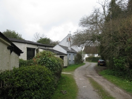
Stentiford Lane
Farm track in Lower Brimley
Stentiford Lane
Location and coordinates are for the approximate centre of Brimley Copse within this administrative area. Geographic features and populated places may cross administrative borders.