-
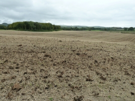
Stubble field with a dressing of 'fresh' manure
-

North on Novington Lane
Stubble field with a dressing of 'fresh' manure
North on Novington Lane
Location and coordinates are for the approximate centre of Bridleroad Shaw within this administrative area. Geographic features and populated places may cross administrative borders.