-
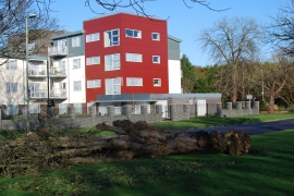
Storm damage in Cunningham Drive
-
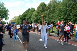
Olympic Flame near Bridgemary Park
Storm damage in Cunningham Drive
Olympic Flame near Bridgemary Park
Location and coordinates are for the approximate centre of Bridgemary within this administrative area. Geographic features and populated places may cross administrative borders.