-

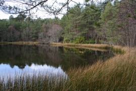
About to enter the Brides Loch
-
Bride's Loch Revisited
About to enter the Brides Loch
Bride's Loch Revisited
Location and coordinates are for the approximate centre of Bridesfauld Loch within this administrative area. Geographic features and populated places may cross administrative borders.