-
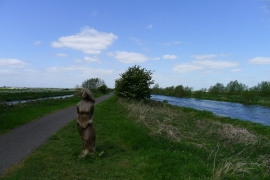
Wooden sculpture by Nigel Sardeson
-
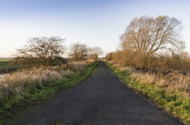
Water Rail Way towards Lincoln
Wooden sculpture by Nigel Sardeson
Water Rail Way towards Lincoln
Location and coordinates are for the approximate centre of Branston Island within this administrative area. Geographic features and populated places may cross administrative borders.