-
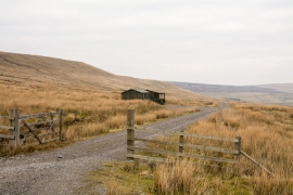
Shooting huts on moorland in Well Hope
-
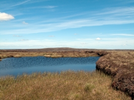
Tarn near summit of Knoutberry Hill
Shooting huts on moorland in Well Hope
Tarn near summit of Knoutberry Hill
Location and coordinates are for the approximate centre of Bramsike Moss within this administrative area. Geographic features and populated places may cross administrative borders.