-
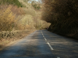
One of only a few short, straight sections on the B3230
-
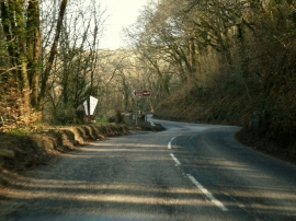
The B3230 approaching the Broomhill Art Hotel
One of only a few short, straight sections on the B3230
The B3230 approaching the Broomhill Art Hotel
Location and coordinates are for the approximate centre of Bradiford Water within this administrative area. Geographic features and populated places may cross administrative borders.