-
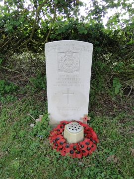
The grave of W. Stutely who was killed in action during WW1
-
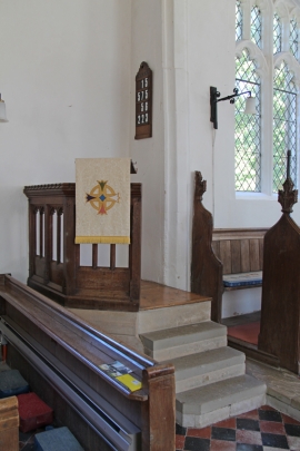
St Clare, Bradfield St Clare - Pulpit
The grave of W. Stutely who was killed in action during WW1
St Clare, Bradfield St Clare - Pulpit
Location and coordinates are for the approximate centre of Bradfield St Clare within this administrative area. Geographic features and populated places may cross administrative borders.