-
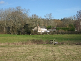
View near Blacknest
-
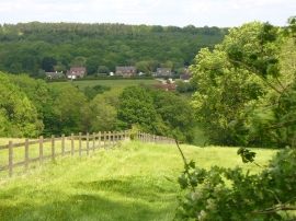
Looking Down Telegraph Hill
View near Blacknest
Looking Down Telegraph Hill
Location and coordinates are for the approximate centre of Boxall's Copse within this administrative area. Geographic features and populated places may cross administrative borders.