-

East Devon : The B3176
-
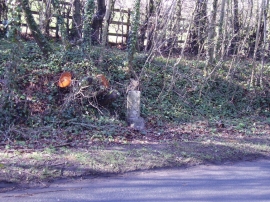
4 Miles to Ottery
East Devon : The B3176
4 Miles to Ottery
Location and coordinates are for the approximate centre of Bowd within this administrative area. Geographic features and populated places may cross administrative borders.