-
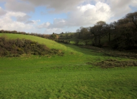
Valley junction north of East Allington
-
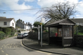
Bus stop, Efford Corner
Valley junction north of East Allington
Bus stop, Efford Corner
Location and coordinates are for the approximate centre of Bottomclose Plantation within this administrative area. Geographic features and populated places may cross administrative borders.