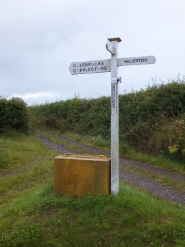
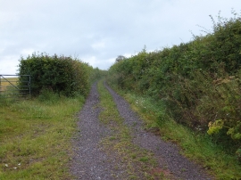
Bottom Copse, Devon

« Gazetteer Entry
Upload Photo

Bottom Copse, Devon

  • Parish/Community: Colebrooke
  • District/Borough: Mid Devon
  • County: Devon
  • Region: South West
  • Category: Landcover
  • Type: Forest or Wood
  • Latitude/Longitude: 50°46'43"N 3°45'17"W
  • Eastings/Northings: 276368, 99164
  • OS Grid: SX763991
  • Mapcode Local: GBR QH.J72L
  • Mapcode Global: FRA 3701.4XW

Location and coordinates are for the approximate centre of Bottom Copse within this administrative area. Geographic features and populated places may cross administrative borders.

BritishPlaceNames.uk is a Good Stuff website.