-

Lane near Roselands Caravan & Camping Park
-
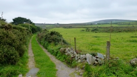
Track to Little London
Lane near Roselands Caravan & Camping Park
Track to Little London
Location and coordinates are for the approximate centre of Bosworlas Moor within this administrative area. Geographic features and populated places may cross administrative borders.