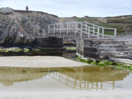
Borranish a Muigh, Na h-Eileanan Siar

« Gazetteer Entry
Upload Photo

Borranish a Muigh, Na h-Eileanan Siar

  • Unitary Authority: Na h-Eileanan Siar
  • Region: Scotland
  • Category: Geographic Feature
  • Type: Coastal Headland
  • Latitude/Longitude: 58°11'25"N 7°1'17"W
  • Eastings/Northings: 105018, 933385
  • OS Grid: NB050333
  • Mapcode Local: GBR 9712.JNQ
  • Mapcode Global: WGW0L.3DPL

Location and coordinates are for the approximate centre of Borranish a Muigh within this administrative area. Geographic features and populated places may cross administrative borders.

BritishPlaceNames.uk is a Good Stuff website.