-
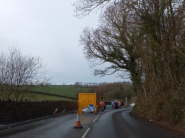
Road works on A381 north of Halwell
-
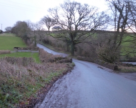
Bridge west of Halwell
Road works on A381 north of Halwell
Bridge west of Halwell
Location and coordinates are for the approximate centre of Boreston Copse within this administrative area. Geographic features and populated places may cross administrative borders.