-
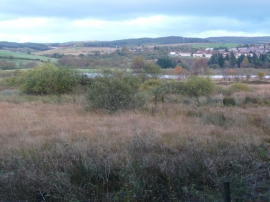
Carr land around Bogton Loch, Dalmellington
-
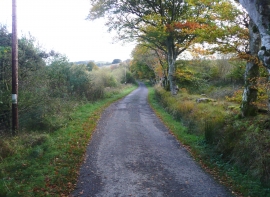
Lane to Dalcairnie, Dalmellington
Carr land around Bogton Loch, Dalmellington
Lane to Dalcairnie, Dalmellington
Location and coordinates are for the approximate centre of Bogton Loch within this administrative area. Geographic features and populated places may cross administrative borders.