-
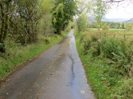
Road heading for Dalvorich and Callander
-
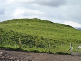
The Auld Knowe
Road heading for Dalvorich and Callander
The Auld Knowe
Location and coordinates are for the approximate centre of Bog Myrtle Wood within this administrative area. Geographic features and populated places may cross administrative borders.