-

Boathouse at Craigallion loch
-
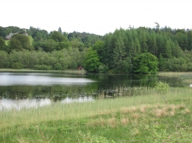
Boat house, Craigallian Loch
Boathouse at Craigallion loch
Boat house, Craigallian Loch
Location and coordinates are for the approximate centre of Boathouse Wood within this administrative area. Geographic features and populated places may cross administrative borders.