-

The Boars Head on Wigan Road
-
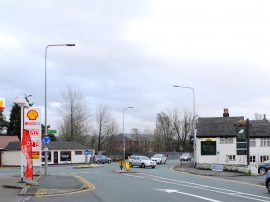
Boar's Head Roundabout on the A49 between Standish and Wigan
The Boars Head on Wigan Road
Boar's Head Roundabout on the A49 between Standish and Wigan
Other current and historical names
Location and coordinates are for the approximate centre of Boar's Head within this administrative area. Geographic features and populated places may cross administrative borders.