-
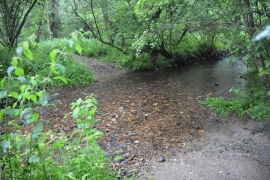
Hayne Ford
-
Orange Way in Devon and Torbay (442)
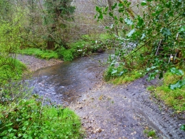
Hayne Ford
Orange Way in Devon and Torbay (442)
Location and coordinates are for the approximate centre of Boards Breach Copse within this administrative area. Geographic features and populated places may cross administrative borders.