-
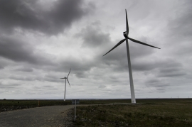
Turbines at Camster Wind Farm
-
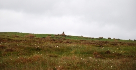
Trig Point
Turbines at Camster Wind Farm
Trig Point
Location and coordinates are for the approximate centre of Bloody Moss within this administrative area. Geographic features and populated places may cross administrative borders.