-
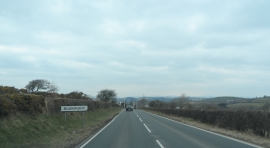
Approaching Blaenplwyf on the A487
-
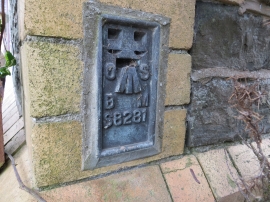
Ordnance Survey Flush Bracket S8281
Approaching Blaenplwyf on the A487
Ordnance Survey Flush Bracket S8281
Other current and historical names
Location and coordinates are for the approximate centre of Blaenplwyf within this administrative area. Geographic features and populated places may cross administrative borders.