-
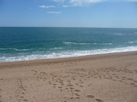
Blackpool Sands : Shingle Beach & Sea
-
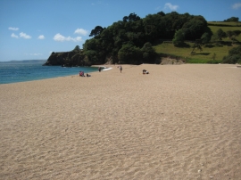
Blackpool Sands
Blackpool Sands : Shingle Beach & Sea
Blackpool Sands
Location and coordinates are for the approximate centre of Blackpool Sands within this administrative area. Geographic features and populated places may cross administrative borders.