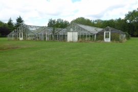
Blacklands Plantation, Staffordshire

« Gazetteer Entry
Upload Photo

Blacklands Plantation, Staffordshire

  • Parish/Community: Bobbington
  • District/Borough: South Staffordshire
  • County: Staffordshire
  • Region: West Midlands
  • Category: Landcover
  • Type: Forest or Wood
  • Latitude/Longitude: 52°31'4"N 2°16'15"W
  • Eastings/Northings: 381708, 291141
  • OS Grid: SO817911
  • Mapcode Local: GBR 08W.2NH
  • Mapcode Global: VH911.LZ87

Location and coordinates are for the approximate centre of Blacklands Plantation within this administrative area. Geographic features and populated places may cross administrative borders.

BritishPlaceNames.uk is a Good Stuff website.