-
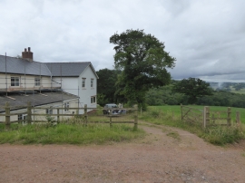
House at Cholwell
-
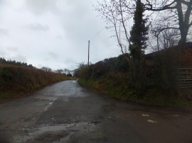
Road to Posbury from Blackdown Cross
House at Cholwell
Road to Posbury from Blackdown Cross
Location and coordinates are for the approximate centre of Blackdown Plantation within this administrative area. Geographic features and populated places may cross administrative borders.