-
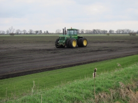
Harvested turf field
-
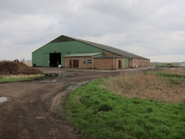
Barn off Shrub Drove
Harvested turf field
Barn off Shrub Drove
Location and coordinates are for the approximate centre of Blackdike Plantation within this administrative area. Geographic features and populated places may cross administrative borders.