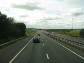
Blackbog Wood, West Lothian

« Gazetteer Entry
Upload Photo

Blackbog Wood, West Lothian

  • Unitary Authority: West Lothian
  • Region: Scotland
  • Category: Landcover
  • Type: Forest or Wood
  • Latitude/Longitude: 55°52'34"N 3°42'39"W
  • Eastings/Northings: 293055, 666114
  • OS Grid: NS930661
  • Mapcode Local: GBR 20JH.DC
  • Mapcode Global: WH5RL.ZK2J

Location and coordinates are for the approximate centre of Blackbog Wood within this administrative area. Geographic features and populated places may cross administrative borders.

BritishPlaceNames.uk is a Good Stuff website.