-
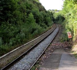
Railway towards Kilgetty from Narberth railway station
-
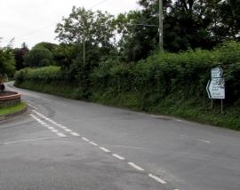
Directions signs facing Kiln Park Road, Narberth
Railway towards Kilgetty from Narberth railway station
Directions signs facing Kiln Park Road, Narberth
Location and coordinates are for the approximate centre of Blackaldern Wood within this administrative area. Geographic features and populated places may cross administrative borders.