-
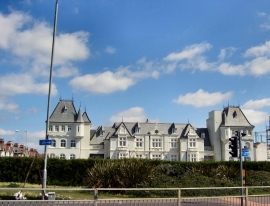
French Convalescent Home
-
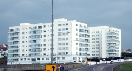
Marine Gate, Black Rock
French Convalescent Home
Marine Gate, Black Rock
Location and coordinates are for the approximate centre of Black Rock within this administrative area. Geographic features and populated places may cross administrative borders.