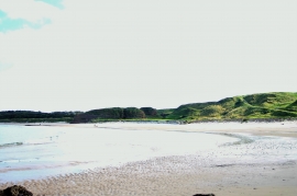
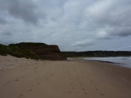
Black Foot, Moray

« Gazetteer Entry
Upload Photo

Black Foot, Moray

  • Unitary Authority: Moray
  • Region: Scotland
  • Category: Water Feature
  • Type: Island
  • Latitude/Longitude: 57°41'50"N 2°50'33"W
  • Eastings/Northings: 349878, 867827
  • OS Grid: NJ498678
  • Mapcode Local: GBR M8BC.Y9G
  • Mapcode Global: WH7KD.9SND

Location and coordinates are for the approximate centre of Black Foot within this administrative area. Geographic features and populated places may cross administrative borders.

BritishPlaceNames.uk is a Good Stuff website.