-
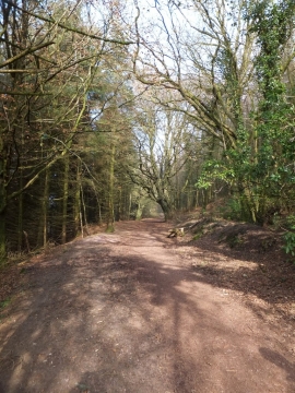
Bridleway leading north through Downlands Plantations
-
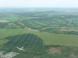
East Devon : North Hill Airfield & Surroundings
Bridleway leading north through Downlands Plantations
East Devon : North Hill Airfield & Surroundings
Location and coordinates are for the approximate centre of Black Down within this administrative area. Geographic features and populated places may cross administrative borders.