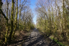
Bishwell Common, Swansea

« Gazetteer Entry
Upload Photo

Bishwell Common, Swansea

  • Parish/Community: Gowerton
  • Unitary Authority: Swansea
  • Region: Wales
  • Category: Landcover
  • Type: Forest or Wood
  • Latitude/Longitude: 51°38'12"N 4°2'5"W
  • Eastings/Northings: 259276, 195084
  • OS Grid: SS592950
  • Mapcode Local: GBR GW.BZRM
  • Mapcode Global: VH4K8.03RZ

Location and coordinates are for the approximate centre of Bishwell Common within this administrative area. Geographic features and populated places may cross administrative borders.

BritishPlaceNames.uk is a Good Stuff website.