-
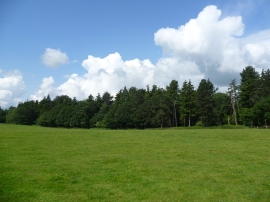
Field - Tatton Park
-
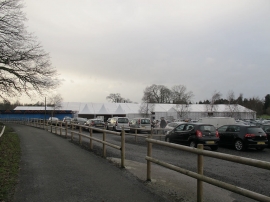
Car park at Tatton Hall
Field - Tatton Park
Car park at Tatton Hall
Location and coordinates are for the approximate centre of Birch Island within this administrative area. Geographic features and populated places may cross administrative borders.