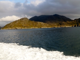
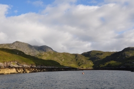
Bàgh Ciarach, Na h-Eileanan Siar

« Gazetteer Entry
Upload Photo

Bàgh Ciarach, Na h-Eileanan Siar

  • Unitary Authority: Na h-Eileanan Siar
  • Region: Scotland
  • Category: Water Feature
  • Type: Bay
  • Latitude/Longitude: 57°55'15"N 6°38'28"W
  • Eastings/Northings: 125276, 901832
  • OS Grid: NB252018
  • Mapcode Local: GBR 97ZS.QS5
  • Mapcode Global: WGX37.Y5NL

Location and coordinates are for the approximate centre of Bàgh Ciarach within this administrative area. Geographic features and populated places may cross administrative borders.

BritishPlaceNames.uk is a Good Stuff website.