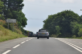
Bethany, Cornwall

« Gazetteer Entry
Upload Photo

Bethany, Cornwall

Other current and historical names

  • Budge's Shop
  • Parish/Community: St. Germans
  • Unitary Authority: Cornwall
  • Region: South West
  • Category: Populated Place
  • Type: Other Settlement
  • Latitude/Longitude: 50°24'41"N 4°21'31"W
  • Eastings/Northings: 232500, 59500
  • OS Grid: SX325595
  • Mapcode Local: GBR NL.RG6Y
  • Mapcode Global: FRA 17RY.XBY

Location and coordinates are for the approximate centre of Bethany within this administrative area. Geographic features and populated places may cross administrative borders.

BritishPlaceNames.uk is a Good Stuff website.