-

Woodbine Cottage
-
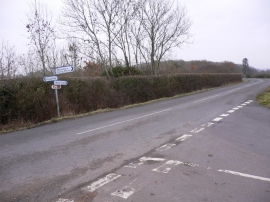
Signpost at the junction of Hawkley and Wheatham Roads
Woodbine Cottage
Signpost at the junction of Hawkley and Wheatham Roads
Location and coordinates are for the approximate centre of Berrygrove Copse within this administrative area. Geographic features and populated places may cross administrative borders.