-
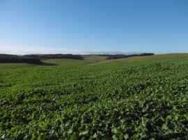
Turnips, Lochelbank
-
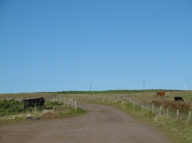
Wind farm road, Lochelbank
Turnips, Lochelbank
Wind farm road, Lochelbank
Location and coordinates are for the approximate centre of Berry Wood within this administrative area. Geographic features and populated places may cross administrative borders.