-
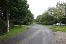
Road through Berrick Prior
-
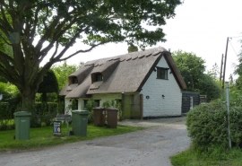
Ivy Cottage, Berrick Salome
Road through Berrick Prior
Ivy Cottage, Berrick Salome
Location and coordinates are for the approximate centre of Berrick Salome within this administrative area. Geographic features and populated places may cross administrative borders.