-
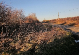
Winter sun near Coombe Farm
-
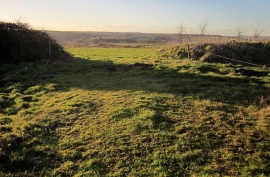
Towards Coombe Farm
Winter sun near Coombe Farm
Towards Coombe Farm
Location and coordinates are for the approximate centre of Benoak Plantation within this administrative area. Geographic features and populated places may cross administrative borders.