-
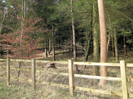
Benhams Wood - a mixture of species
-
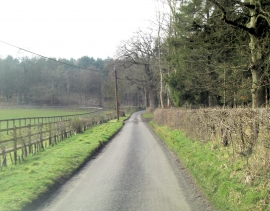
Benhams Lane north of Fawley Court Farm
Benhams Wood - a mixture of species
Benhams Lane north of Fawley Court Farm
Location and coordinates are for the approximate centre of Benhams Wood within this administrative area. Geographic features and populated places may cross administrative borders.