-

Field by Red Barn Lane
-
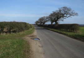
Red Barn Lane
Field by Red Barn Lane
Red Barn Lane
Location and coordinates are for the approximate centre of Bella's Belt within this administrative area. Geographic features and populated places may cross administrative borders.