-
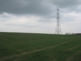
Pylon near Willoughby Farm
-
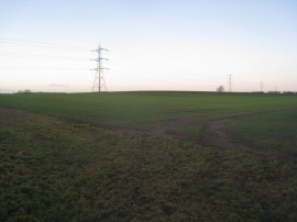
Pylons on the skyline
Pylon near Willoughby Farm
Pylons on the skyline
Location and coordinates are for the approximate centre of The Beck within this administrative area. Geographic features and populated places may cross administrative borders.