-
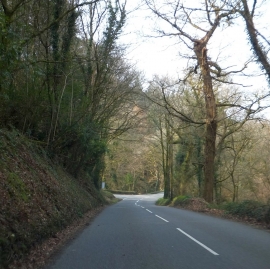
The western corner of Lew Wood
-
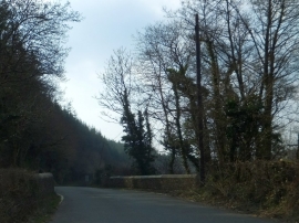
Bridge over River Lew north-west of Lew Wood
The western corner of Lew Wood
Bridge over River Lew north-west of Lew Wood
Location and coordinates are for the approximate centre of Barton Wood within this administrative area. Geographic features and populated places may cross administrative borders.