-
The R Yare at Coldham Hall PH, Surlingham
-

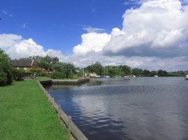
River Yare Coldham Hall looking across to Brundall
The R Yare at Coldham Hall PH, Surlingham
River Yare Coldham Hall looking across to Brundall
Location and coordinates are for the approximate centre of Bargate within this administrative area. Geographic features and populated places may cross administrative borders.