-
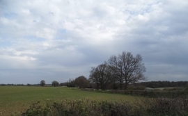
Field by Rucklers Lane, Kings Langley
-
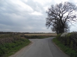
Rucklers Lane at the junction of Barnes Lane
Field by Rucklers Lane, Kings Langley
Rucklers Lane at the junction of Barnes Lane
Location and coordinates are for the approximate centre of Badgerdell Wood within this administrative area. Geographic features and populated places may cross administrative borders.