-
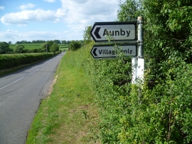
The Aunby turn off
-
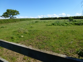
Horse paddock near Aunby
The Aunby turn off
Horse paddock near Aunby
Location and coordinates are for the approximate centre of Aunby within this administrative area. Geographic features and populated places may cross administrative borders.